England: Countys, Karte zum Ausdrucken
England: Karte der 48 Countys zum Ausdrucken, als stumme Karte, Arbeitsblatt und Lösungsblatt. Auch als PDF.
Tipp: Wähle im Druckfenster „Als PDF speichern“, um eine PDF-Kopie zu behalten.
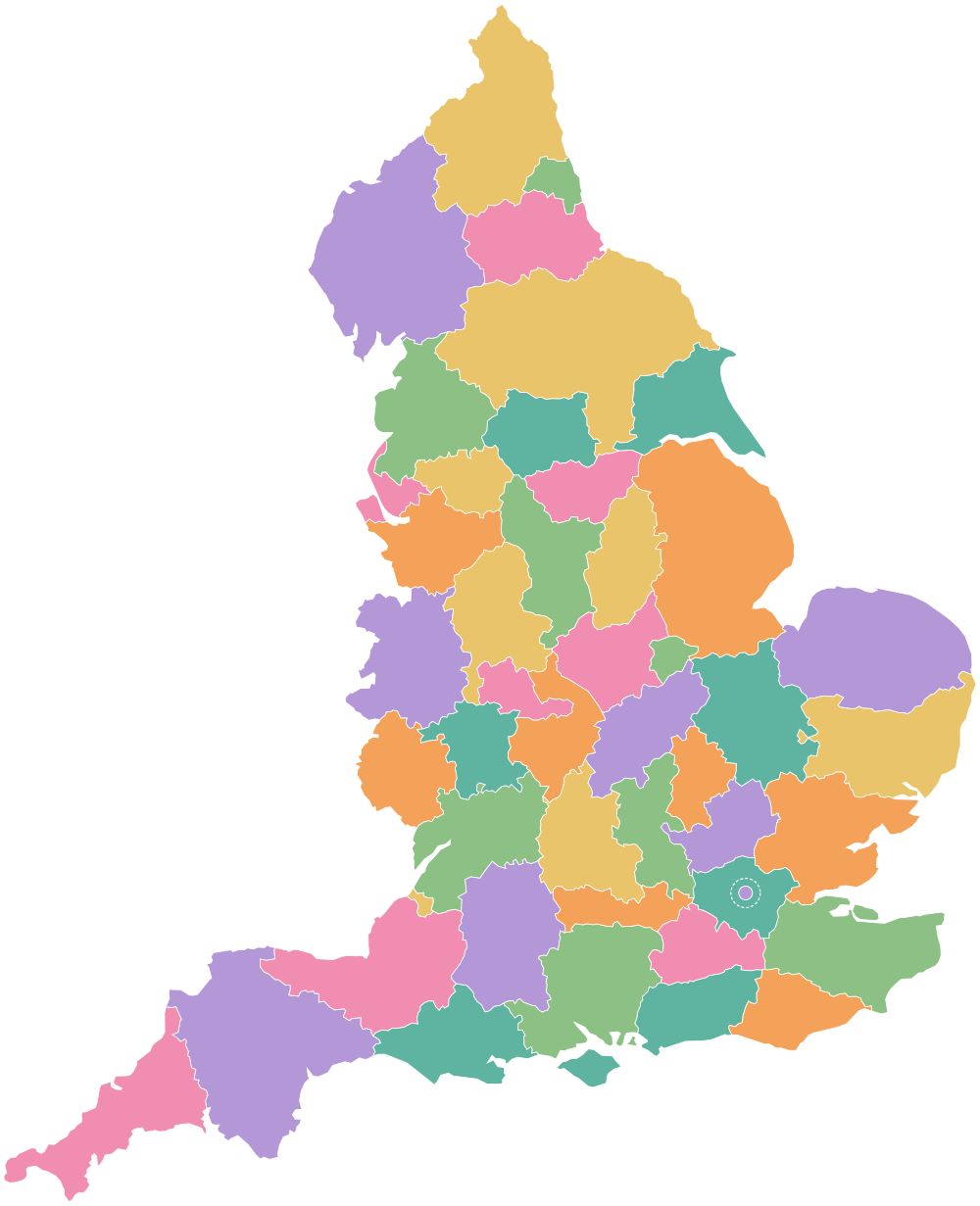
- Bedfordshire
- Berkshire
- Buckinghamshire
- Cambridgeshire
- Cheshire
- City of London
- Cornwall
- Cumbria
- Derbyshire
- Devon
- Dorset
- Durham
- East Riding of Yorkshire
- East Sussex
- Essex
- Gloucestershire
- Greater Manchester
- Groß-London
- Hampshire
- Herefordshire
- Hertfordshire
- Insel Wight
- Kent
- Lancashire
- Leicestershire
- Lincolnshire
- Merseyside
- Norfolk
- North Yorkshire
- Northamptonshire
- Northumberland
- Nottinghamshire
- Oxfordshire
- Rutland
- Shropshire
- Somerset
- South Yorkshire
- Stadt Bristol
- Staffordshire
- Suffolk
- Surrey
- Tyne and Wear
- Warwickshire
- West Midlands
- West Sussex
- West Yorkshire
- Wiltshire
- Worcestershire