Regions of France: printable map
Free printable map of the 13 regions of France: a blank outline map, a numbered worksheet and an answer key. Print it or save it as a PDF.
Tip: choose "Save as PDF" in the print window to keep a PDF copy.
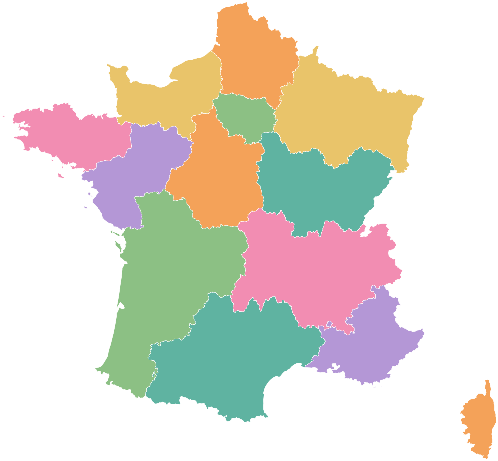
- Auvergne-Rhône-Alpes
- Bourgogne-Franche-Comté
- Brittany
- Centre-Val de Loire
- Corsica
- Grand Est
- Hauts-de-France
- Île-de-France
- Normandy
- Nouvelle-Aquitaine
- Occitania
- Pays de la Loire
- Provence-Alpes-Côte d'Azur